
5 public piers and 2 jetties along this stretch of coast, 45 straight-line miles from end to end.
Common targets across these spots: California Halibut, Barred Surfperch, Pacific Chub Mackerel, California Corbina. Seasons, size and bag limits are on each pier page.
Distances are straight-line miles from Ocean Beach Municipal Pier. Live tides, swell and wind are on every pier page.
HANDY GUIDE MAP TO THESan Diego
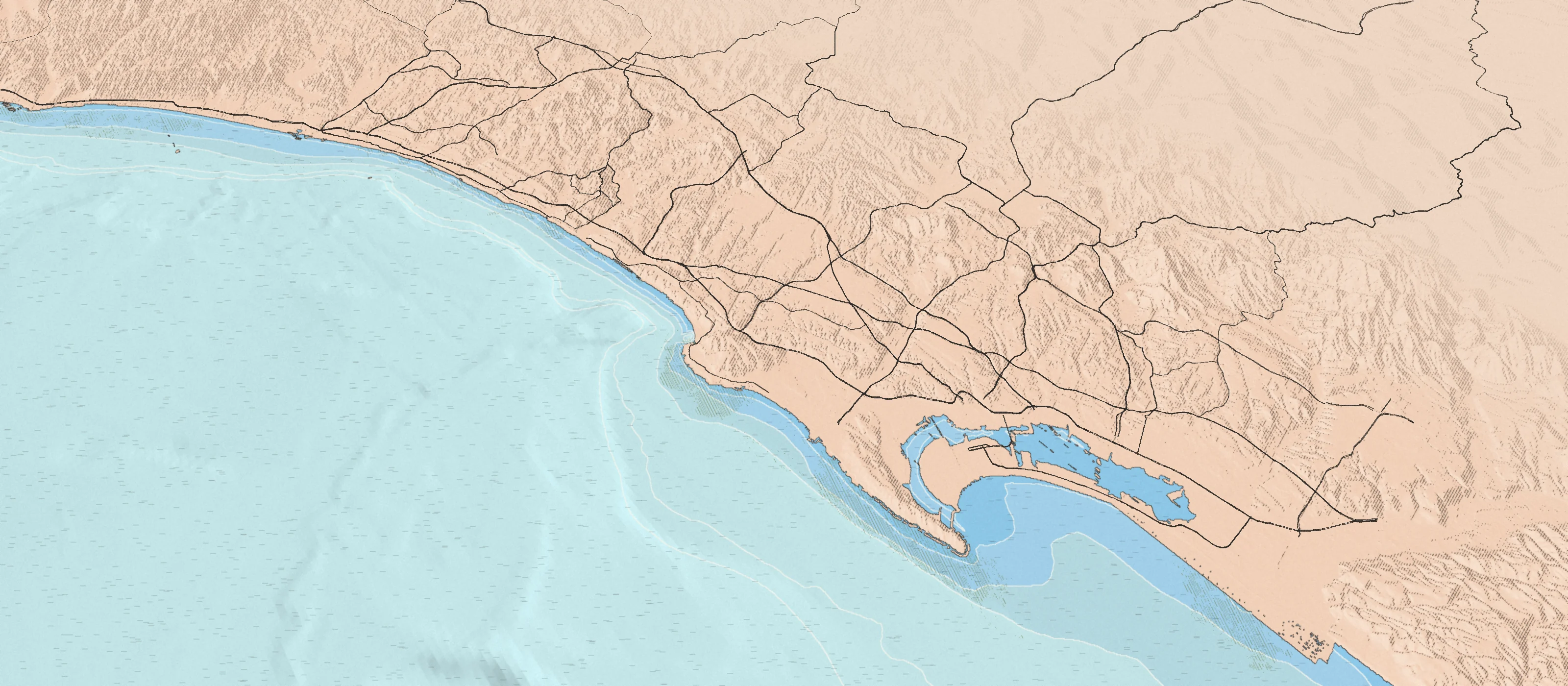
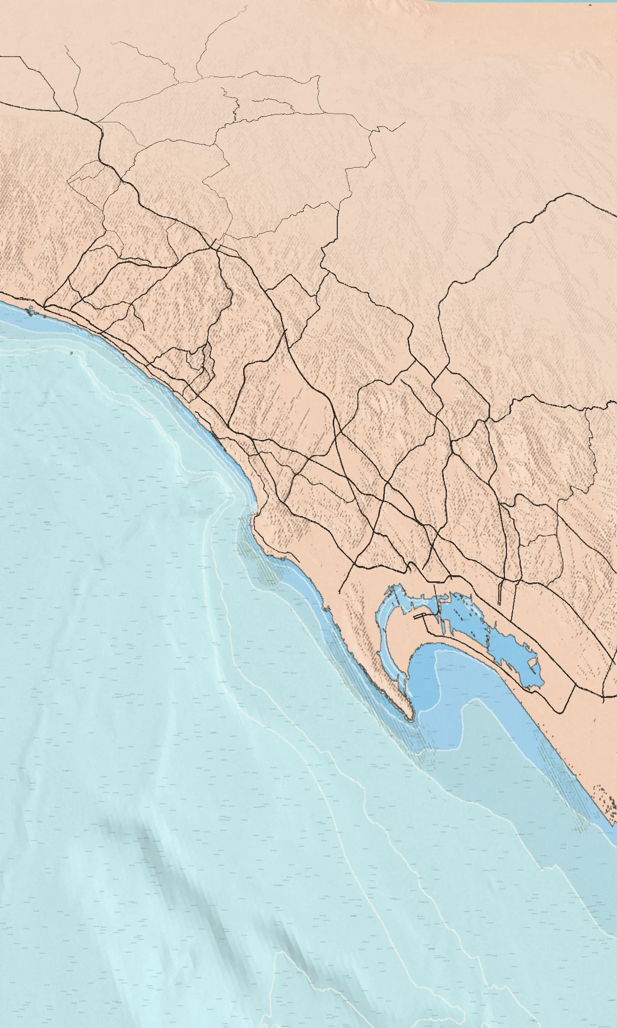
PACIFIC OCEAN
- Oceanside Pier31½ MI.
- Crystal Pier3½ MI.
- San Diego River Mouth Jetties1 MI.
- Ocean Beach Municipal Pier0 MI.
- Shelter Island Pier3 MI.
- Zuniga Jetty5½ MI.
- Imperial Beach Pier13½ MI.