
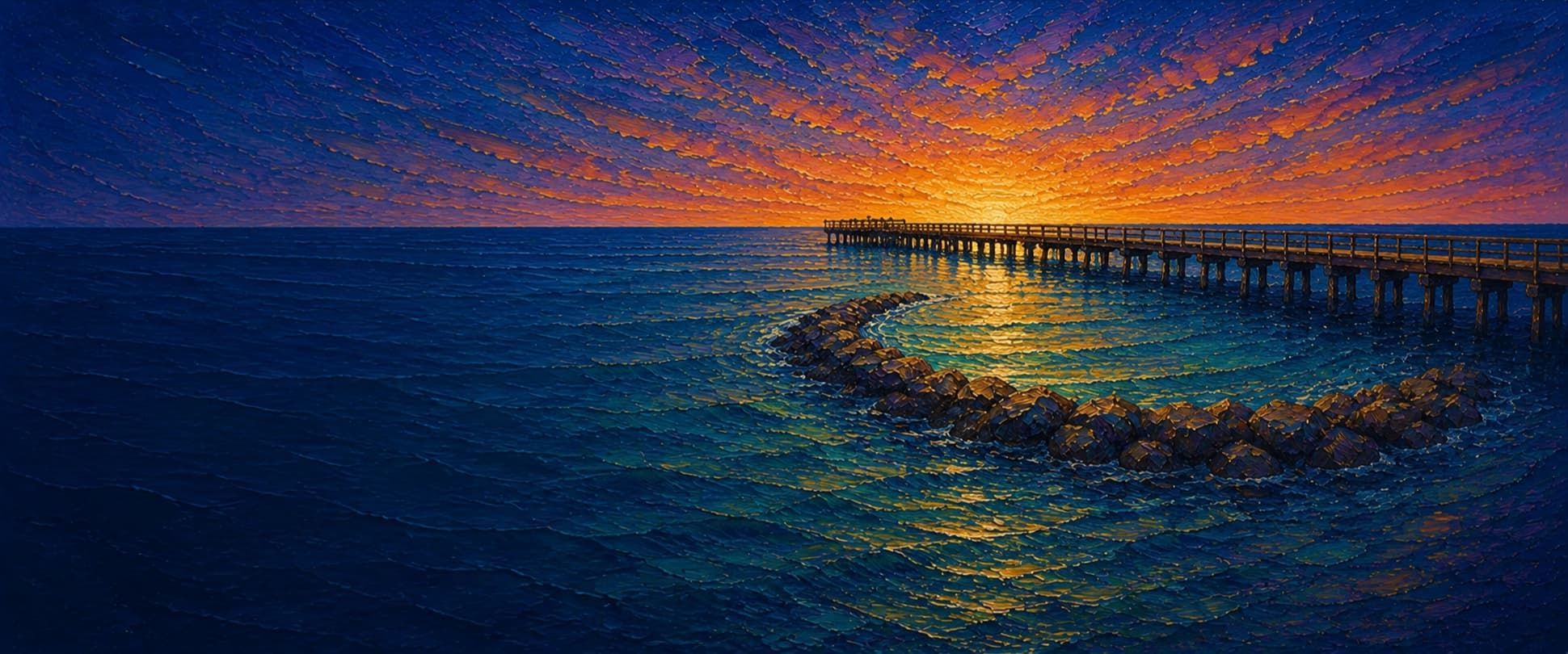
Imperial Beach Pier
Imperial Beach, San Diego County, California
Fishing conditions
Loading…
National Weather Service (api.weather.gov)
Loading…
NOAA CO-OPS predictions, station 9410120
- Sunrise—
- Sunset—
Dawn/dusk and a moving tide (the hour around a high or low) typically bring the most active bite — worth timing a trip around whichever falls closest to first/last light.
Loading…
Loading buoy telemetry…
NOAA National Data Buoy Center
Nearly 1,500-foot public timber-deck fishing pier, with wood planking and a widened outer end that formerly supported sportfishing-boat operations. The Port of San Diego records major upgrades in 2006, replacement of nearly 1,500 deck planks in 2014, and 2022–23 improvements including rod holders, a mid-pier shade canopy, distance markers, and upgrades to the pier’s restaurant, lifeguard, and restroom structures. A local fishing report documents an artificial half-moon rock reef near the end, plus an additional accidental boulder reef; treat their exact present configuration as unverified.
Species & regulations
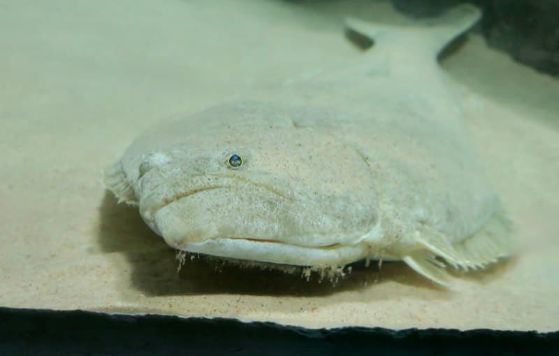
The local report favors live small queenfish, white croaker, or smelt, or a moving baitfish-style lure, worked near bottom around the mid-pier approach.
⚠ No Imperial Beach Pier-specific OEHHA advisory was located; follow OEHHA’s current statewide California-coast advice for locations without site-specific advice and any active local water-contact closures.
Photo: RatioTile · CC BY-SA 4.0
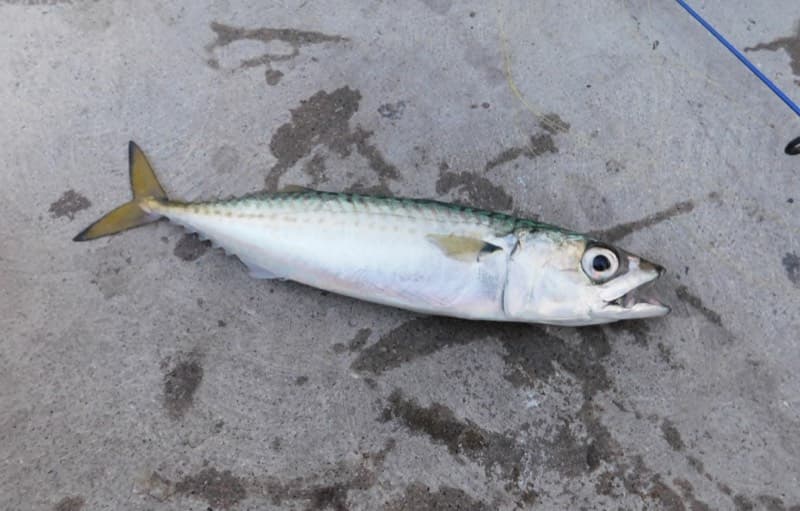
Small bait rigs, squid strips, or small spoons around schools; the local report records mackerel throughout the pier and especially toward the outer end.
⚠ No Imperial Beach Pier-specific OEHHA advisory was located; follow OEHHA’s current statewide California-coast advice for locations without site-specific advice and any active local water-contact closures.
Photo: Ruff tuff cream puff · CC0 (public domain dedication)
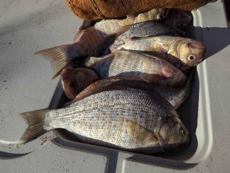
Live sand crabs are the local report’s preferred bait; bloodworms, ghost shrimp, and fresh mussels also work in the surf line.
⚠ No Imperial Beach Pier-specific OEHHA advisory was located; follow OEHHA’s current statewide California-coast advice for locations without site-specific advice and any active local water-contact closures.
Photo: Matt Muir (iNaturalist) · CC BY 4.0
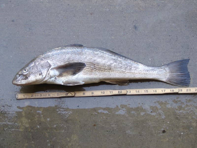
Use sand crabs or bloodworms in the shallow surf zone; local reporting identifies the surf area as a better corbina location.
⚠ No Imperial Beach Pier-specific OEHHA advisory was located; follow OEHHA’s current statewide California-coast advice for locations without site-specific advice and any active local water-contact closures.
Photo: N1ywb · CC BY-SA 3.0
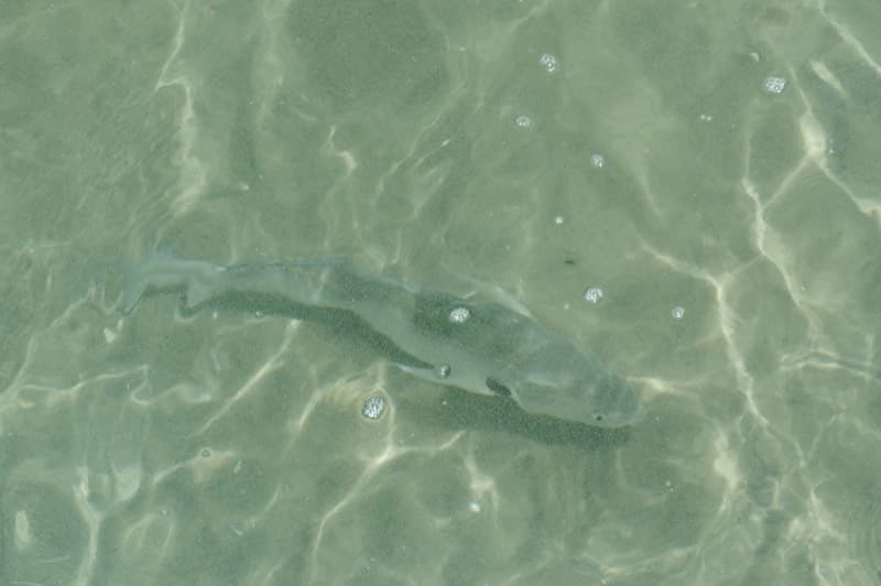
Fish sand crabs, ghost shrimp, bloodworms, or fresh mussel on the sandy bottom just past the surf; the local report calls this transition a top croaker area.
⚠ No Imperial Beach Pier-specific OEHHA advisory was located; follow OEHHA’s current statewide California-coast advice for locations without site-specific advice and any active local water-contact closures.
Photo: Donald Davesne (iNaturalist) · CC BY 4.0
Bag/size limits sourced from CDFW's ocean sport fishing regulations — always double-check the current CDFW regs before keeping fish, as rules change.
Moon tracker
Recommended spots
- Mid-pier north-side schooling water
 Schooling baitfish / halibut approach
The local report identifies the halfway point, where the pier starts to slope upward, as a top area. It documents queenfish and walleye surfperch schooling mid-depth, often on the north side, and describes this area as a prime halibut locale in late spring through early autumn.
- Outer-end deeper / reported-reef waterDeepest water / mixed structure and pelagics
The report places nearly 20 feet of water, calmer conditions, and documented artificial-rock structure near the outer end, with mackerel, halibut, scorpionfish, rays, and larger sharks reported. The rating reflects habitat opportunity, not guaranteed space: restaurant/lifeguard use and crowding can limit rail access.
- Inshore surf line

 Shallow surf / sandy-shore species
The local pier report calls the surf area a better place for barred surfperch and California corbina, and says water just past it is strong for croaker and sargo. This is also a busy beach zone: respect posted swim/surf separation and water-quality closures.
- Just beyond the surf lineSandy bottom / croaker and sargo
Local guidance identifies this transition beyond the surf as productive for yellowfin croaker, spotfin croaker, and sargo. It offers a more controlled bottom presentation than the breaking surf, without depending on the crowded outer end.
- Mid-to-outer piling edgePiling structure / snag-risk perch water
The local report describes pileperch, blackperch, and rubberlip perch around pilings, but cautions that sharp mussels grab leaders. Fish beside the structure with abrasion-resistant terminal tackle rather than casting directly into it.
Landmarks
- Seacoast Drive / Evergreen Avenue pier entrance
 access
Shoreward end of the OSM-mapped deck. Pier Fishing in California directs visitors to Seacoast Drive and notes adjacent parking; follow current Port signage for any closure or access restriction.
- Public restrooms and fish-cleaning facilities
 amenity
The Port identifies a public-restroom structure around mid-pier; the local report lists restrooms and fish-cleaning stations. Coordinate is a centerline reference, not a surveyed building entrance.
- Mid-pier shark-and-water shade canopyamenity
Port Phase 2 improvements placed an artistic shade canopy by the pier extension across from the public restrooms. It can concentrate pedestrian traffic and constrain casting space.
- Outer-end restaurant / lifeguard / restroom structures
 structure
The Port identifies three structures on the pier: Imperial Beach Kitchen, a lifeguard tower, and public restrooms. These improvements and active uses can limit available rail space.
- Outer piling and reported artificial-reef area
 hazard
Local documentation reports heavy mussel growth on pilings and a half-moon rock reef near the end. Both are snag-prone structure; placement and condition have not been independently verified for this draft.
Vegetation / growth assessment
No pier-scale, date-matched vegetation or seafloor survey was located that supports mapping algae or fouling intensity by side. The local fishing report documents mussel-covered pilings and outer-end artificial reef structure, which is useful snag/habitat context but does not establish current vegetation coverage. No flank or end vegetation zone is asserted pending direct imagery review or a localized survey.
Piers grow algae, mussels, and barnacles on their pilings and along the deck edges over time — that build-up is what this section tracks. The more growth in a stretch, the easier it is for your hook, sinker, or line to catch on it and get stuck, which is one of the most common ways beginners lose tackle. Heavier growth isn't a reason to avoid a spot — it often holds bait and structure fish like — just expect to snag more and re-tie more often there.
No dated, location-specific survey confirms current vegetation coverage on Imperial Beach Pier — every checked zone reads as unconfirmed rather than surveyed clear, so snag risk from growth here is unknown, not low, until a current review is available.
- Left flank · noneunconfirmed, not yet assessed
No pier-scale, side-specific observation was independently verified; gridded as checked, none confirmed.
- Right flank · noneunconfirmed, not yet assessed
No pier-scale, side-specific observation was independently verified; gridded as checked, none confirmed.
Reference sources
- Port of San Diego — IB Pier and Plaza Enhancements
- City of Imperial Beach — 2023 Age-Friendly Action Plan (pier history)
- OpenStreetMap — Imperial Beach Pier way 25723336
- OpenStreetMap Nominatim — Imperial Beach Pier geometry search
- NOAA CO-OPS — Imperial Beach station 9410120
- NOAA CO-OPS station metadata API — 9410120
- Pier Fishing in California — Imperial Beach Pier report
- CDFW — California recreational ocean fishing regulations
- CDFW — 2026 California ocean sport fishing regulations booklet
- CDFW — public-pier license guidance
- OEHHA — statewide advisory for California coastal locations without site-specific advice
- Kelpwatch map
- Kelpwatch methodology
- CDFW — Aerial Kelp Surveys
- California halibut photo (Wikimedia Commons)
- Pacific mackerel photo (Wikimedia Commons)
- Barred surfperch photo (iNaturalist)
- California corbina photo (Wikimedia Commons)
- Spotfin croaker photo (iNaturalist)