
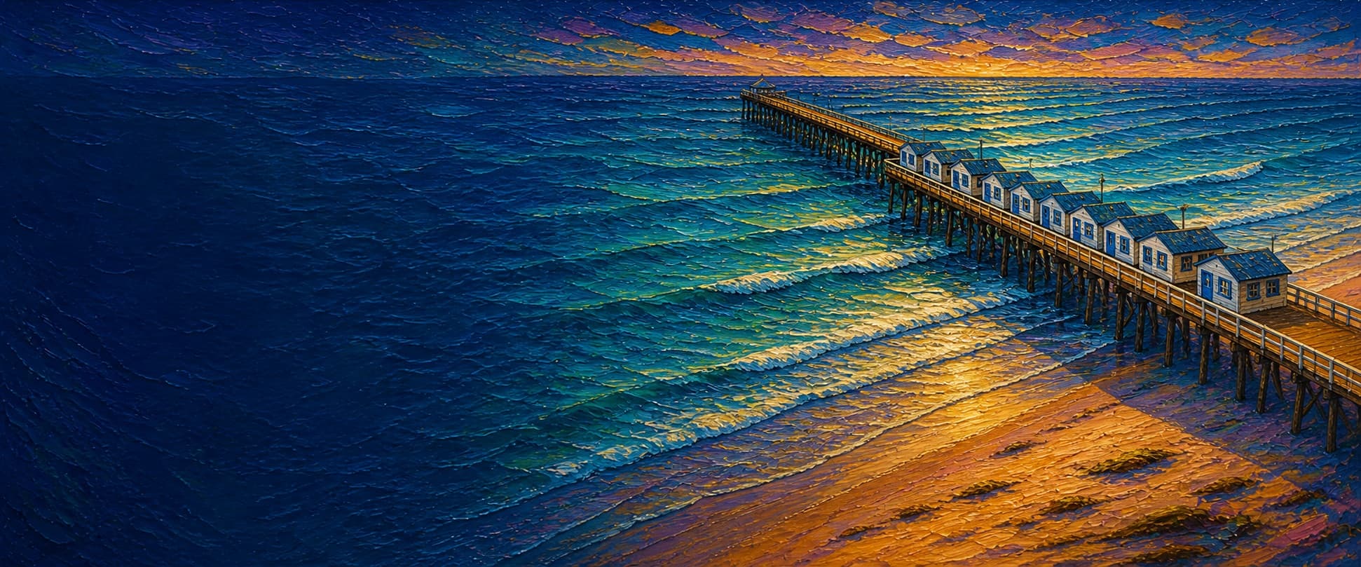
Crystal Pier
Pacific Beach, San Diego, California

Fishing conditions
Loading…
National Weather Service (api.weather.gov)
Loading…
NOAA CO-OPS predictions, station 9410230
- Sunrise—
- Sunset—
Dawn/dusk and a moving tide (the hour around a high or low) typically bring the most active bite — worth timing a trip around whichever falls closest to first/last light.
Loading…
Loading buoy telemetry…
NOAA National Data Buoy Center
An approximately 872-foot timber pier, first opened in 1927, with the Crystal Pier Hotel's blue-and-white cottages built directly over much of its wider shoreward section. A narrower public walkway continues to the outer end alongside/beyond the cottages. City repairs after the December 2023 storm closure were completed and the pier fully reopened for public access on July 7, 2025. Access remains unlike a conventional municipal fishing pier: the hotel controls the route through its property, and reporting from June 2025 says gates close to non-guests each evening; verify current posted hours and closures before a trip.
Species & regulations
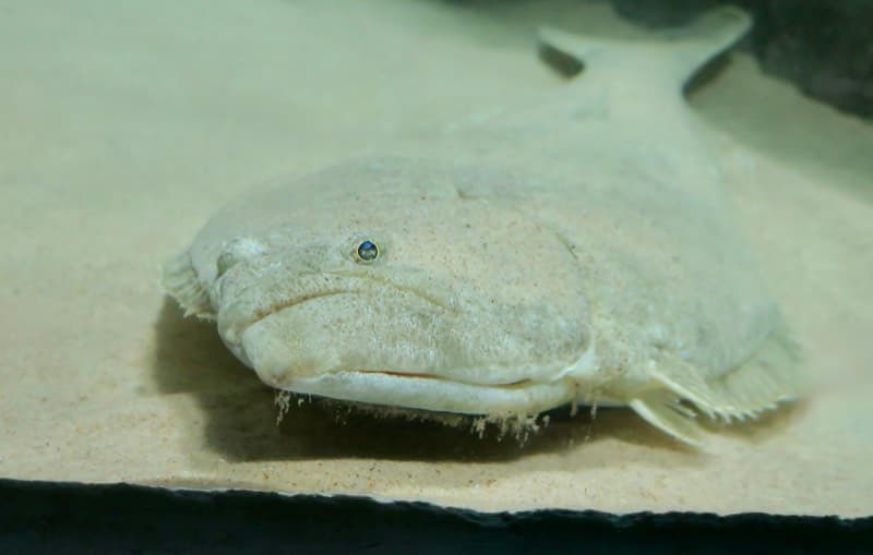
Live or cut bait worked close to the sandy bottom; the local report specifically favors a live-bait/Carolina-style approach from the south side.
⚠ No Crystal Pier-specific OEHHA advisory was located; use OEHHA's current statewide California-coast advice for locations without site-specific advice.
Photo: RatioTile · CC BY-SA 4.0
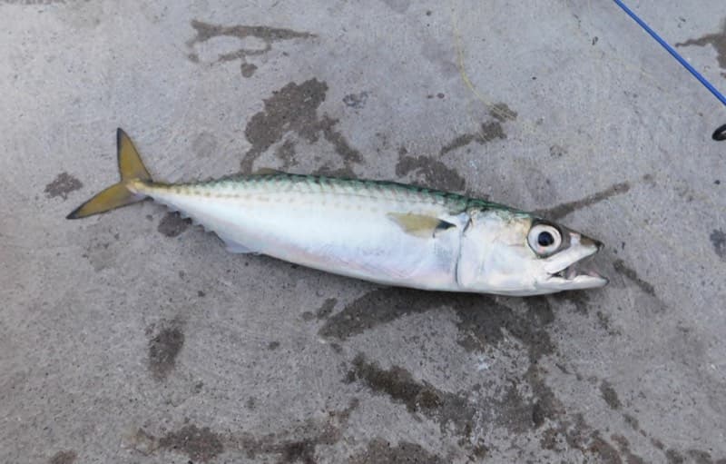
Small multi-hook bait rigs, squid strips, or small lures when schools are present at the outer walkway/end.
⚠ No Crystal Pier-specific OEHHA advisory was located; use OEHHA's current statewide California-coast advice for locations without site-specific advice.
Photo: Ruff tuff cream puff · CC0 (public domain dedication)
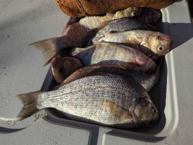
Sand crabs, mussels, ghost shrimp, or bloodworms near the shallow sandy surf edge.
⚠ No Crystal Pier-specific OEHHA advisory was located; use OEHHA's current statewide California-coast advice for locations without site-specific advice.
Photo: Matt Muir (iNaturalist) · CC BY 4.0
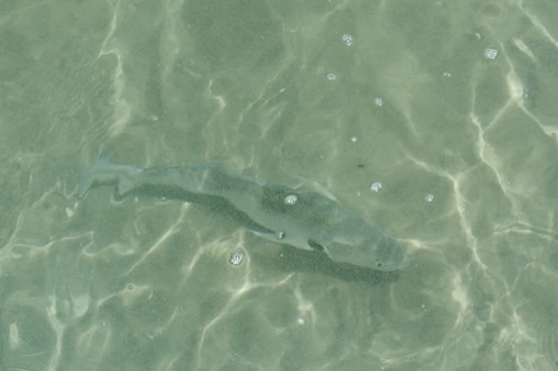
Fresh mussel, sand crabs, ghost shrimp, or bloodworms on the sandy bottom near the tide line.
⚠ No Crystal Pier-specific OEHHA advisory was located; use OEHHA's current statewide California-coast advice for locations without site-specific advice.
Photo: Donald Davesne (iNaturalist) · CC BY 4.0
Bag/size limits sourced from CDFW's ocean sport fishing regulations — always double-check the current CDFW regs before keeping fish, as rules change.
Moon tracker
Recommended spots
- Outer-end deeper water
 Outer rail / pelagics
The same local report identifies the end as the slightly deeper-water section and the place for pelagic species. The rating reflects water access, not deck capacity: the narrow public end can be crowded and is subject to weather or maintenance closure.
- Outer walkway rail

 Mixed mid-to-outer water
Pierfishing reports that the outer area adds Pacific and jack mackerel, jacksmelt, bat rays, small-to-medium white seabass, and occasional bonito/yellowtail to the sandy-shore mix. The coordinate is interpolated from OSM's pedestrian-way centerline, not a surveyed rail position.
- Inshore surf edgeShallow surf / sandy shore species
Pierfishing places corbina, barred surfperch, spotfin and yellowfin croaker, rays, and guitarfish at the tide line. It is the shallowest and most pedestrian-constrained water; fish only from a permitted, open part of the structure and keep casts clear of beach users.
- South-side mid-pier waterHalibut and mixed sandy-bottom water
The local pier report calls the left/south side about halfway out its generally best fishing and lists halibut, croaker, walleye surfperch, and smoothhound there. This marker falls in the hotel/cottage section, so it is not a promise of public casting space: obey fences, guest areas, and staff direction.
Landmarks
- Garnet Avenue / Crystal Pier entrance
 access
Mapped shoreward end of the Crystal Pier hotel access road. Pierfishing directs visitors to the foot of Garnet Avenue; visitor hours have historically been seasonal, so follow the current gate signage.
- Crystal Pier Hotel cottage lane
 structure
Approximate OSM-centerline marker within the cottage section. The hotel describes original cottages refurbished over the ocean; this is lodging/private guest space, not open casting deck.
- Outer public walkwayaccess
Junction from the hotel roadway to the mapped pedestrian-only outer walk. The City identifies the westernmost half as the public portion; use only while the pier is officially open.
- Outer end / narrow deck
 hazard
Mapped seaward endpoint. It is the deepest readily accessible water but a narrow, exposed wooden deck; leave room for pedestrians and do not fish during storm or closure conditions.
Vegetation / growth assessment
Kelpwatch and CDFW aerial-kelp sources were checked for regional context, but neither provides a pier-scale, date-matched observation suitable for assigning kelp or algae intensity beside this structure. The fishing report does describe mussel-covered pilings, which supports a snag-risk warning but not a mapped density or side-specific vegetation claim. No vegetation zones are asserted pending direct, multi-date imagery review or a localized survey.
Piers grow algae, mussels, and barnacles on their pilings and along the deck edges over time — that build-up is what this section tracks. The more growth in a stretch, the easier it is for your hook, sinker, or line to catch on it and get stuck, which is one of the most common ways beginners lose tackle. Heavier growth isn't a reason to avoid a spot — it often holds bait and structure fish like — just expect to snag more and re-tie more often there.
No dated, location-specific survey confirms current vegetation coverage on Crystal Pier — every checked zone reads as unconfirmed rather than surveyed clear, so snag risk from growth here is unknown, not low, until a current review is available.
- Left flank · noneunconfirmed, not yet assessed
No localized survey or multi-date interpretation supports a flank observation; gridded as checked, none confirmed.
- Right flank · noneunconfirmed, not yet assessed
No localized survey or multi-date interpretation supports a flank observation; gridded as checked, none confirmed.
Reference sources
- City of San Diego — Crystal Pier fully reopened (July 3, 2025)
- Crystal Pier Hotel — history
- Times of San Diego — hotel, cottages, and evening gate access (June 2025)
- Save Our Heritage Organisation — 871-foot pier history
- OpenStreetMap — hotel access-road geometry (way 5948432)
- OpenStreetMap — outer pedestrian-way geometry (way 265724578)
- Nominatim — Crystal Pier mapped geometry
- Pier Fishing in California — Crystal Pier report
- CDFW — current California recreational ocean fishing regulations
- CDFW — current California halibut regulation
- CDFW — California beach and public-pier fishing guidance
- CDFW — 2026 ocean sport fishing regulations booklet
- NOAA CO-OPS — La Jolla station 9410230
- NOAA CO-OPS — La Jolla station metadata
- Kelpwatch map
- Kelpwatch methodology
- CDFW aerial kelp surveys
- OEHHA — statewide coastal fish-consumption advisory
- California halibut photo (Wikimedia Commons)
- Pacific mackerel photo (Wikimedia Commons)
- Barred surfperch photo (iNaturalist)
- Spotfin croaker photo (iNaturalist)