

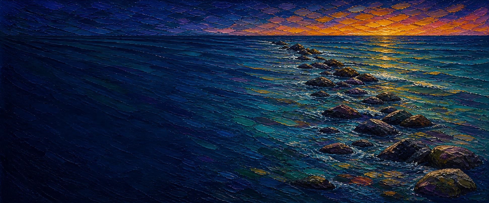
Zuniga Jetty (Zuniga Shoals Jetty)
Naval Air Station North Island / San Diego Bay entrance, California


Fishing conditions
Loading…
National Weather Service (api.weather.gov)
Loading…
NOAA CO-OPS predictions, station 9410170
- Sunrise—
- Sunset—
Dawn/dusk and a moving tide (the hour around a high or low) typically bring the most active bite — worth timing a trip around whichever falls closest to first/last light.
Loading…
Loading buoy telemetry…
NOAA National Data Buoy Center
Historic rubble-mound jetty built on Zuniga Shoal to help control sand movement and maintain the San Diego Bay entrance channel. The U.S. Army Corps of Engineers lists a 7,500-foot rubble-mound jetty as part of the federal navigation project; it remains a charted obstruction/hazard for boaters rather than an elevated public fishing pier.
Moon tracker
Recommended spots
Landmarks
- North Island jetty base — controlled military property
 access
The shoreward end is on the Naval Air Station North Island side. Naval Base Coronado visitor-control guidance describes entry through its controlled visitor process; this is not a public trailhead or a confirmed fishing access point.
- Zuniga Shoal rubble-mound alignment
 structure
The Port of San Diego's CEQA record identifies the shoals east of this rubble-mound structure and describes the jetty as extending offshore from Zuniga Point. Coordinate is a mid-jetty reference, not a public landing point.
- Bay-entrance channel flank
 hazard
The west/channel side is beside the federal entrance navigation project. Nearby NOAA ENC soundings are materially deeper than those east of the jetty; commercial, military, and recreational vessel traffic make it unsuitable as an assumed casting area.
- Ocean-side Zuniga Jetty Shoalshazard
The east flank borders shallow, shifting shoal water. Port records document debris-removal work in the shoals; NOAA chart soundings here are much shallower than the channel flank.
- Outer submerged / low-profile endhazard
Approximate southern end from imagery and the documented 7,500-ft project length. The Corps notes that the functioning jetty still creates hazards to boaters; it is not an access or fishing-platform waypoint.
Rock + depth formation assessment
Do not assume a public-pier license exemption: CDFW's current San Diego County list does not include Zuniga Jetty, and the site lacks the free, unrestricted public shore access required by the public-pier definition. Do not enter Naval Base Coronado/North Island property or approach restricted waters without explicit authorization; verify current signs, Coast Guard restrictions, and all fishing rules before any authorized activity.
NOAA ENC Direct chart soundings establish a pronounced asymmetric profile. Along the west/channel flank, nearby soundings range around 9.8-14.3 m (about 32-47 ft); east of the rock, nearby charted shoal soundings are commonly around 0.9-4.8 m (about 3-16 ft). These observations support a deep-water channel flank and shallow-boulder/shoal flank, but the data do not justify claiming a precise depth at the toe of each rock zone.
A jetty's rock pile is the structure — there's no deck, just boulders stacked out into the water. Snags happen when your line or hook drops into a gap between rocks instead of open water. Rock sitting shallow, close to the surface, is the easiest to hang up on, and gets worse as the tide drops and exposes more of it. Rock that gives way to deeper water has less exposed structure to catch on, but a hook that does snag there is harder to pull free. Sandy gaps between rock sections are the clearest, lowest-snag water on a jetty.
The shallowest rock at Zuniga Jetty (Zuniga Shoals Jetty) sits on the ocean-facing flank near the base — that's the highest snag risk here, and it gets worse as the tide drops and exposes more of it.
- Channel-facing flank · deep water · ~36 ftdeep water at the rocks, less exposed but harder to free gear
West/channel flank. Nearby NOAA ENC soundings include 10.9 m and 11.8 m; rounded value is an adjacent-water planning value, not a structure-toe survey.
- Channel-facing flank · deep water · ~39 ftdeep water at the rocks, less exposed but harder to free gear
West/channel flank. Nearby 2025 ENC soundings include 9.8-14.3 m, demonstrating maintained-channel-scale water immediately west of the jetty alignment.
- Ocean-facing flank · shallow boulder · ~7 ftshallow rock, highest snag risk — worse as the tide drops
East/ocean flank. Nearby ENC chart soundings include 0.9-2.1 m on the Zuniga Shoal side; rounded value is deliberately conservative.
- Ocean-facing flank · mixed drop · ~14 ftrock into a slope, moderate snag risk
East/ocean flank. Nearby soundings commonly run 2.7-4.8 m farther from the crest, a real change from the inner shoal but still much shallower than the channel side.
- Outer tip · mixed drop · ~33 ftrock into a slope, moderate snag risk
End grid is based on nearby south-end ENC soundings around 9.4-12.6 m, but the low-profile rock itself and exact chart relationship remain unresolved; this is not a safe-navigation depth.

Reference sources
- San Diego History Center — San Diego's Zuniga Shoals Jetty: Icon and Enigma
- U.S. Army Corps of Engineers — San Diego Harbor fact sheet
- USACE annual report (1958) — 7,500-ft Zuniga Shoal rubble-mound jetty
- OpenStreetMap — Zuniga Jetty breakwater geometry (way 1175881448)
- Esri World Imagery
- NOAA ENC Direct to GIS — harbour soundings around Zuniga Jetty
- NOAA Office of Coast Survey — ENC Direct to GIS
- CDFW — California Beach Fishing / public piers, jetties and breakwaters
- Naval Base Coronado — Visitor Control
- Port of San Diego / CEQA — Zuniga Jetty Shoals Marine Debris Removal
- NOAA Tides & Currents — San Diego station 9410170
- OEHHA — San Diego Bay fish consumption advisory