
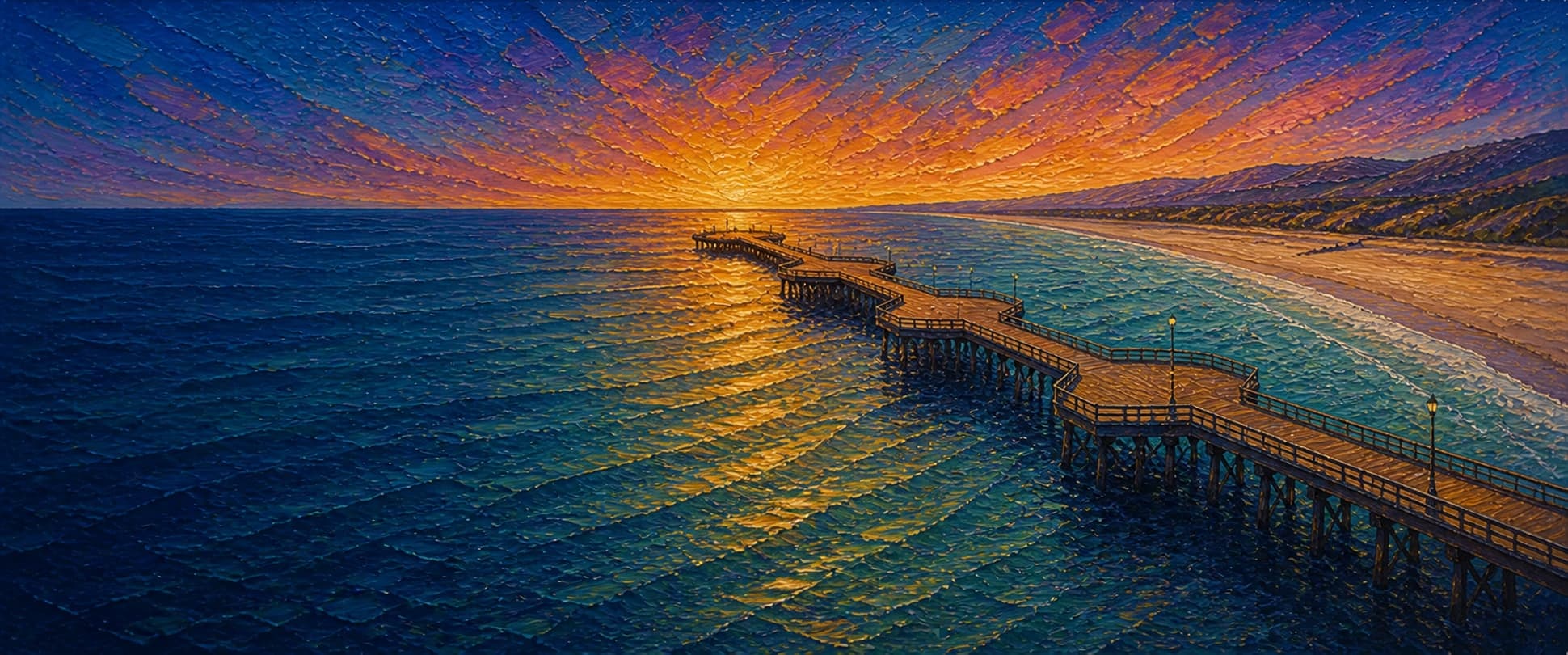
Pismo Beach Pier
Pismo Beach, California

Fishing conditions
Loading…
National Weather Service (api.weather.gov)
Loading…
NOAA CO-OPS predictions, station 9412110
- Sunrise—
- Sunset—
Dawn/dusk and a moving tide (the hour around a high or low) typically bring the most active bite — worth timing a trip around whichever falls closest to first/last light.
Loading…
Loading buoy telemetry…
NOAA National Data Buoy Center
Wood-planked public pier on a broad sandy beach, laid out as a straight walk with four widened diamond nodes toward the outer half rather than a T-end. Pismo's centennial history page describes the original 1924 pier at 1,740 ft with a ship-capable wharf head; the current pier is the post-2018 1,200-ft configuration. KSBY's 2018 construction coverage reports 183 new steel pilings beneath roughly 800,000 board feet of wood, plus utilities, lighting, and drinking-water improvements running the length of the pier.
Species & regulations
Sand crabs are the classic bait here; seaworms, mussel, and clam also fit the local surf-zone pattern near high tide.
⚠ OEHHA's statewide advisory for California coastal locations without site-specific advice applies here; check current serving guidance before keeping fish.
Small hooks fished mid-depth around the middle and outer pier; the local source specifically calls out small anchovy pieces.
⚠ Covered by OEHHA's statewide advisory for California coastal locations without site-specific advice.
Fish the far end on bottom with a live-bait leader or larger plastic grub; local reporting ties the best halibut window to late spring and early summer.
Multi-hook bait rigs near the outer half of the pier when schools are present; this is the most common pelagic catch reported for Pismo.
Sabiki-style rigs or small bait strips around the outer rail when bait schools push through.
Small bottom baits around the middle-to-outer pier, especially near piling structure.
⚠ Covered by OEHHA's statewide advisory for California coastal locations without site-specific advice; verify current consumption guidance before eating any kept fish.
Bag/size limits sourced from CDFW's ocean sport fishing regulations — always double-check the current CDFW regs before keeping fish, as rules change.
Moon tracker
Recommended spots
- Surf zone by the first breakers
 Shallow surfperch water
Pier Fishing in California identifies the surf area as the main zone for barred surfperch, especially around the two hours before and after high tide, with sand crabs, mussel, clam, or seaworm-style baits producing best.
- Outer rail for smelt and mackerel schoolsPelagic school zone
Jacksmelt are described as the most common pelagic catch at Pismo, with Pacific mackerel, jack mackerel, and sardines often joining them. The same source says most of these fish are taken toward the end on multi-hook bait rigs.
- Shallow piling holes

 Structure edge
The local fishing source specifically mentions holes by the pilings and winter/early-spring catches of blackperch, striped seaperch, rainbow seaperch, and occasional pileperch around mussel-covered structure.
- Mid-pier perch and croaker laneMixed perch / white croaker water
From mid-pier outward, local reporting points to silver and walleye surfperch plus white croaker, with smaller hooks around the pilings and mid-depth presentations for the schooling walleyes.
- Far-end bottom driftFlatfish / halibut end water
The far end is the local source's best flatfish zone, with regular starry flounder, sanddabs, sand sole, and a few halibut most years. It is also where bigger bait schools and occasional shark traffic overlap.
Landmarks
- Pier entrance at Pomeroy Avenue / Pier Plaza
 access
Main shore access at the west end of Pomeroy Avenue, directly connected to the plaza and promenade.
- Public restrooms (100 Pomeroy Avenue)
 amenity
Mapped toilet building at the pier base; the city lists public restrooms among the pier-plaza amenities.
- Pier Plaza playgroundamenity
City amenity list includes children's play equipment at the beach/pier plaza; OSM maps a playground just south of the entrance.
- Pismo Pier Parking Lotamenity
Surface lot immediately inland of the pier; the city notes parking here and at the end of Addie Street, with accessible spaces available.
- Visitor information kiosk areaamenity
OSM maps visitor information at the plaza; KSBY reported the booth returning after the 2018 reconstruction.
- Outer end swell and storm exposure
 hazard
This end takes the full brunt of swell and wind. Local reporting and long-form pier histories both describe repeated storm damage and shaking during large surf; obey any weather closures or barricades.
Vegetation / growth assessment
Reviewed sources support Pismo as a broad sandy beach pier rather than a kelp-forest or rocky-reef structure. The city and state-beach descriptions emphasize beach, promenade, and surf amenities, while Pier Fishing in California specifically notes mussel-covered pilings and fish holding in holes by the pilings. I did not verify a side-specific imagery study in this pass, so the zones below stay conservative: piling biofouling is treated as the real vegetation/fouling signal, while rooted kelp or persistent canopy around the pier is unverified.
Piers grow algae, mussels, and barnacles on their pilings and along the deck edges over time — that build-up is what this section tracks. The more growth in a stretch, the easier it is for your hook, sinker, or line to catch on it and get stuck, which is one of the most common ways beginners lose tackle. Heavier growth isn't a reason to avoid a spot — it often holds bait and structure fish like — just expect to snag more and re-tie more often there.
The most growth on Pismo Beach Pier is on the left flank, mid-structure and the right flank, mid-structure — expect occasional snags there; nothing else on the structure reads heavier.
- Left flank · noneunconfirmed, not yet assessed
No side-specific vegetation observation was verified in the shallow breaker zone; gridded as checked, none confirmed.
- Right flank · noneunconfirmed, not yet assessed
Same shallow surf-zone limitation on this flank; no separate vegetation feature was confirmed.
- Left flank · moderatemoderate growth, expect occasional snags
Moderate, structure-driven reading based on documented mussel-covered pilings rather than mapped kelp or algae by side.
- Right flank · moderatemoderate growth, expect occasional snags
Same documented piling-fouling signal; no source reviewed here supports a left/right asymmetry.
- Outer end · lightsome growth, light snag risk
Outer-end water is productive for baitfish and flatfish, but no independent source in this pass confirmed a persistent kelp or heavy fouling patch off the end itself.

Reference sources
- OpenStreetMap Nominatim - Pismo Beach Pier
- Overpass API - Pismo Beach Pier area polygon
- Overpass API - Pismo Beach Pier centerline footway
- Overpass API - Pismo Pier plaza amenities
- City of Pismo Beach - Pismo State Beach, Pier, Promenade & Creek
- Visit Pismo Beach - Pismo Pier Centennial
- KSBY - Pismo Beach Pier construction ahead of schedule
- KSBY - Celebrations as Pismo Pier reopens to the public ahead of schedule
- KSBY - An in-depth look into what causes closures and prompts repairs on local piers
- NOAA CO-OPS station metadata - Port San Luis 9412110
- NOAA tide predictions - Port San Luis 9412110
- Pier Fishing in California - Pismo Beach Pier
- CDFW - Current Central Region ocean fishing regulations
- CDFW - General Ocean Finfish Regulations
- CDFW - Aerial Kelp Surveys
- OEHHA - Statewide Advisory for Eating Fish from California Coastal Locations without Site-Specific Advice