
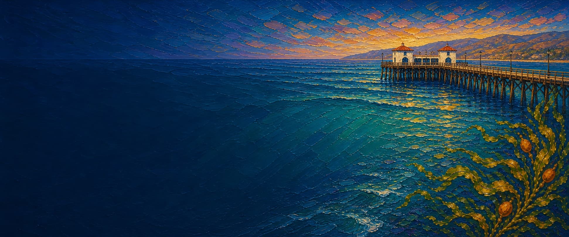
Malibu Pier
Malibu, California
Fishing conditions
Loading…
National Weather Service (api.weather.gov)
Loading…
NOAA CO-OPS predictions, station 9410840
- Sunrise—
- Sunset—
Dawn/dusk and a moving tide (the hour around a high or low) typically bring the most active bite — worth timing a trip around whichever falls closest to first/last light.
Loading…
Loading buoy telemetry…
NOAA National Data Buoy Center
Historic wooden pier at Surfrider Beach / Malibu Lagoon State Beach, operated by California State Parks. It was heavily storm-damaged in the 1993 El Niño storms and again in 1995, then closed until repair. State Parks temporarily closed the end in January 2025 after structural concerns; its November 10, 2025 FAQ says the rest of the pier remains open while repair planning and funding are determined. Do not treat the closed end as fishable.
Species & regulations
The Malibu Pier report describes halibut fishing from mid-pier outward; fish a bait or lure near the bottom where access is open.
⚠ OEHHA places Malibu in its Ventura Harbor-to-Santa Monica Pier coastal-advisory zone. Follow that zone’s species-specific meal guidance before eating a kept fish.
The pier operator and local report list mackerel as a catch; use a small bait rig/Sabiki only where it can be used safely and legally.
⚠ OEHHA’s Ventura Harbor-to-Santa Monica Pier advisory covers Malibu-area catches; consult its species-specific meal guidance before consumption.
The local pier report identifies barred surfperch in the inshore surf area; fish a small baited hook close to the sandy surf zone.
⚠ OEHHA’s Ventura Harbor-to-Santa Monica Pier advisory covers Malibu-area catches; consult its species-specific meal guidance before consumption.
The local pier report lists yellowfin croaker among the inshore catch; use a small baited hook in the surf-zone area.
⚠ OEHHA’s Ventura Harbor-to-Santa Monica Pier advisory covers Malibu-area catches; consult its species-specific meal guidance before consumption.
The Malibu report says fresh mussel near the pilings can take blackperch; avoid casting directly into the documented mussel growth.
⚠ OEHHA’s Ventura Harbor-to-Santa Monica Pier advisory covers Malibu-area catches; consult its species-specific meal guidance before consumption.
Bag/size limits sourced from CDFW's ocean sport fishing regulations — always double-check the current CDFW regs before keeping fish, as rules change.
Moon tracker
Recommended spots
- Mid-pier piling pockets

 Piling structure / bottom fishing
The local pier report specifically directs mid-pier anglers to mussel-covered pilings for seaperch and to the bottom for halibut, sharks, and bat rays. Fish adjacent to structure rather than into the mussel growth to reduce snagging.
- Open mid-to-outer railOpen-water rail
This is deliberately short of the mapped end closure. The local report says mid-pier to end fishing includes bottom species and that bait rigs around the widening area can take queenfish and walleye surfperch; confirm the actual closure boundary before setting up.
- Surf-zone rail near the baseShallow sandy surf
Pier Fishing in California identifies the inshore surf area as habitat for barred surfperch, croakers, corbina, rays, and shovelnose guitarfish. It is a targeted shallow-water option rather than a claim of deeper-water access.
- Outer-end closure — do not fishClosed for structural safety
Historically the end offered more pelagic and shark/ray opportunities, but State Parks says this end remains temporarily closed for structural concerns. It is included solely to keep the app’s linear map from implying access.
Landmarks
- Historic pier entrance tower and storage room
 access
Shoreward access at 23000 Pacific Coast Highway. State Parks dates the Malibu Potteries-tile entrance tower and storage room to the 1932 Adamson House wall project.
- Malibu Lagoon State Beach / Surfrider Beach access
 amenity
State beach immediately west of the pier: the park identifies beach access, lagoon trails, and parking at the Cross Creek entrance. Check current park hours and fees before arrival.
- Adamson House and Malibu Lagoon Museum
 structure
Historic State Parks site just west of the pier; the pier history links its tiled entrance tower and wall to the Adamson property. Museum/house access and weather closures are posted by State Parks.
- Mussel-covered pilings
 hazard
Pier Fishing in California describes mussel-covered pilings from mid-pier outward. This is productive fish-holding structure but a line-snag risk; the point is representative, not a surveyed piling location.
- Temporarily closed pier endhazard
Closed by California State Parks in January 2025 because of structural concerns. The latest State Parks FAQ reviewed (updated 2025-11-10) gives no reopening date; obey barriers and current notices.
Vegetation / growth assessment
Pier Fishing in California reports mussel-covered pilings from mid-pier outward, which is a real structure and snag consideration. Kelpwatch and CDFW aerial-kelp resources were checked for regional context, but this desk review did not yield a defensible, date-specific canopy or biofouling extent at Malibu Pier. No zones are drawn rather than presenting satellite interpretation as measured vegetation.
Piers grow algae, mussels, and barnacles on their pilings and along the deck edges over time — that build-up is what this section tracks. The more growth in a stretch, the easier it is for your hook, sinker, or line to catch on it and get stuck, which is one of the most common ways beginners lose tackle. Heavier growth isn't a reason to avoid a spot — it often holds bait and structure fish like — just expect to snag more and re-tie more often there.
No dated, location-specific survey confirms current vegetation coverage on Malibu Pier — every checked zone reads as unconfirmed rather than surveyed clear, so snag risk from growth here is unknown, not low, until a current review is available.
- Left flank · noneunconfirmed, not yet assessed
No date-specific flank observation was independently verified; gridded as checked, none confirmed.
- Right flank · noneunconfirmed, not yet assessed
No date-specific flank observation was independently verified; gridded as checked, none confirmed.
Reference sources
- California State Parks — Malibu Pier History
- California State Parks — FAQs: Temporary Closure of the End of Malibu Pier (updated 2025-11-10)
- California State Parks — Malibu Lagoon State Beach
- California State Parks — Adamson House
- OpenStreetMap Nominatim — Malibu Pier mapped way geometry (way 13316907)
- OpenStreetMap Nominatim — Adamson House and Malibu Lagoon Museum mapped feature (way 74501003)
- NOAA CO-OPS — Santa Monica, Municipal Pier station 9410840
- Pier Fishing in California — Malibu Pier
- Malibu Pier — fishing information
- CDFW — Current Southern Region ocean fishing regulations
- CDFW — General ocean fishing regulations
- CDFW — beach and public-pier fishing FAQ
- OEHHA — coastal Southern California fish consumption advisory
- Kelpwatch — kelp canopy map
- CDFW — Aerial Kelp Surveys