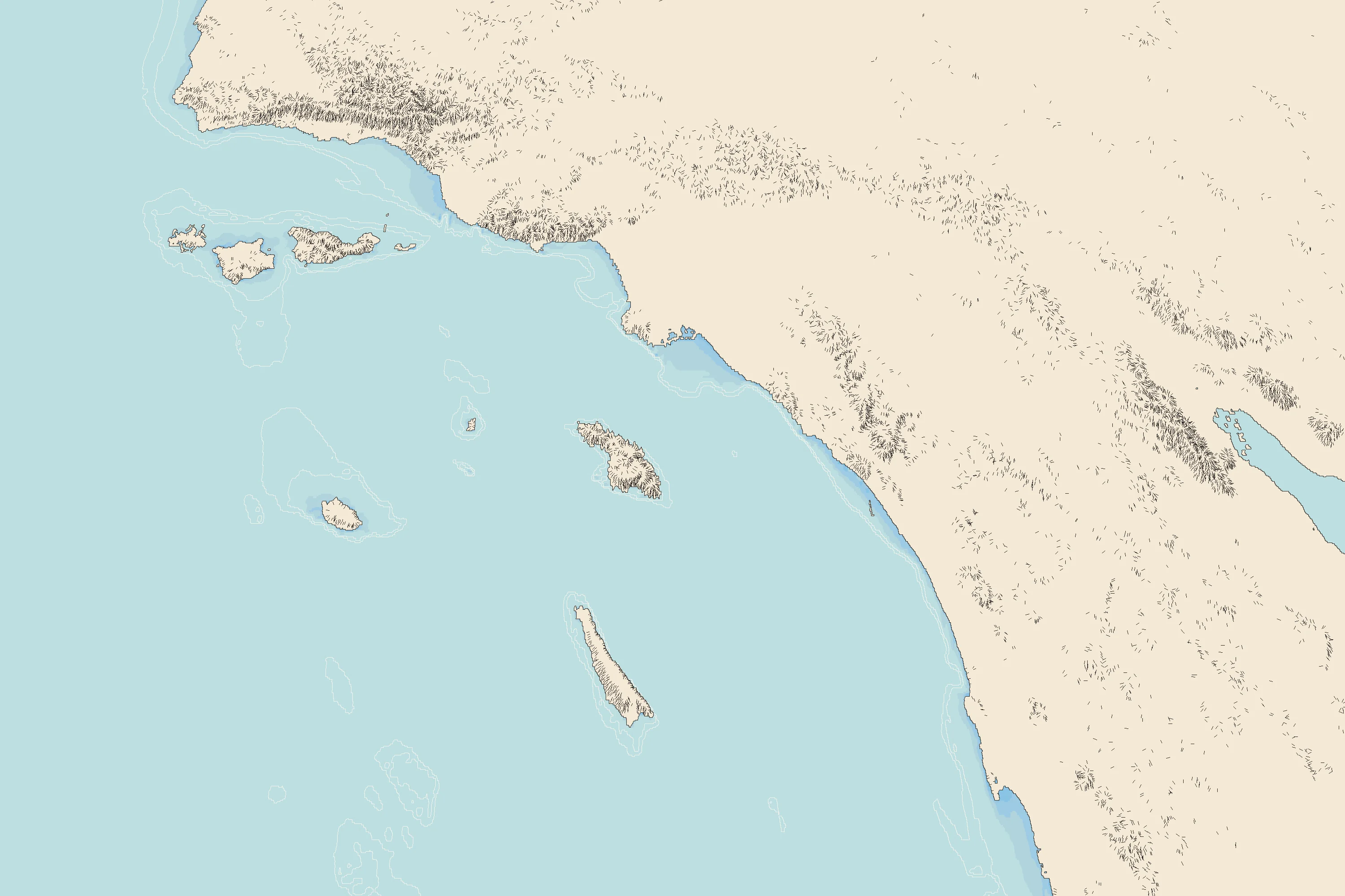
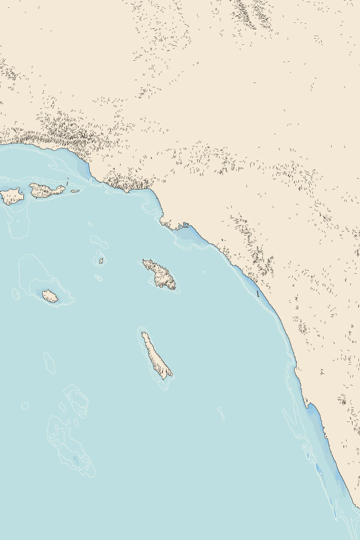
Terrain & coastline: USGS 3DEP (elevation.nationalmap.gov) · Seafloor: AWS Terrain Tiles / NOAA Coastal Relief Model · Place positions: OpenStreetMap Nominatim. Each picture shows one pier from that stretch, from its pier page, until the stretch gets its own drawing.