
Citizens Dock
Crescent City Harbor, Crescent City, California

Fishing conditions
Loading…
National Weather Service (api.weather.gov)
Loading…
NOAA CO-OPS predictions, station 9419750
- Sunrise—
- Sunset—
Dawn/dusk and a moving tide (the hour around a high or low) typically bring the most active bite — worth timing a trip around whichever falls closest to first/last light.
Loading…
Loading buoy telemetry…
NOAA National Data Buoy Center
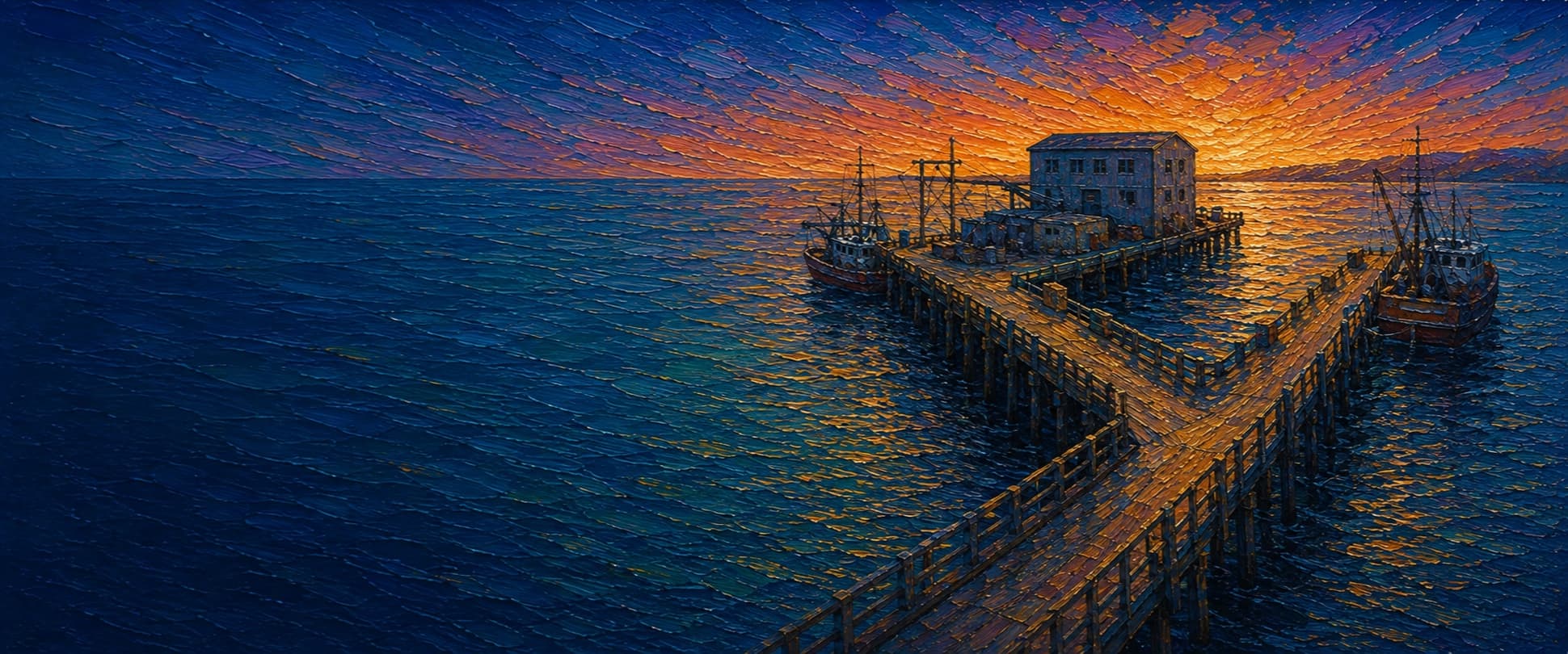
Working Y-shaped timber harbor dock built to support the local fishing and lumber trade. The official 2011 condition survey describes a 260 ft timber approach trestle feeding two pile-supported concrete-decked wharves: a 210 ft south wharf (formerly the Fish Wharf) and a 260 ft west wharf that supports the Ice House (formerly the Lumber Wharf). A past fire damaged and shortened the west wharf. The schema's single base-to-tip axis follows the shore approach and south-wharf leg only; the west-wharf / Ice House leg is real but does not fit a one-axis pier model cleanly.
Species & regulations
Tiny Sabiki or Lucky Lura-style bait rigs when late-winter/spring schools move into the harbor.

Small hooks with shrimp, tube worms, or fresh mussel fished tight to the inshore rocks and piling line.
Photo: Andre Giraldi · CC BY 4.0
Fish shrimp, fresh mussel, or tube worms right against the rock pocket and piling shadows.
⚠ OEHHA's statewide advisory for California coastal locations without site-specific advice says women 18-49 and children 1-17 should limit cabezon to 1 serving/week; women 50+ and men 18+ to 2 servings/week.

Small bait strips or shrimp on a high/low rig tight to the inshore rocks and under-pier structure.
⚠ OEHHA's statewide coastal advisory says women 18-49 and children 1-17 should limit black rockfish to 1 serving/week; women 50+ and men 18+ to 4 servings/week.
Photo: NOAA · Public domain
Most likely around the small inshore rocky corner rather than the mud-and-sand harbor floor farther out.
⚠ OEHHA's statewide coastal advisory says women 18-49 and children 1-17 should not eat copper rockfish from California coastal locations without site-specific advice; women 50+ and men 18+ should limit to 1 serving/week.

Swimbaits or larger live/dead bait when enough depth and current are available around the rock pocket or historically from the farther-out dock edge.
⚠ OEHHA's statewide coastal advisory says women 18-49 and children 1-17 should limit lingcod to 1 serving/week; women 50+ and men 18+ to 2 servings/week.
Photo: NOAA Fisheries · Public domain
Bag/size limits sourced from CDFW's ocean sport fishing regulations — always double-check the current CDFW regs before keeping fish, as rules change.
Moon tracker
Recommended spots
- Inshore rocks / special piling
 Rocky inshore pocket
This is the one consistently singled out local spot: Pier Fishing in California says the small rocky shoreline section near the front of the dock produced kelp greenling, cabezon, copper and grass rockfish, striped seaperch, shinerperch, and sculpins, and that this tiny section accounted for much of the dock's best bottom-fish action.
- Approach-trestle piling lane

 Piling edge / light bait rigs
The historical dock report describes mooring access and fender piles along the trestle, and the fishing report recommends small hooks with shrimp, worms, or mussels fished as close to the pilings as possible for greenling, small rockfish, cabezon, and perch.
- Inner harbor wall cast laneShore-connected harbor edge
Pier Fishing in California says the rocky inshore area remains available along with the inner wall of the harbor after farther-out dock fishing was restricted. It offers the clearest current-access case, but it is also the shallowest and most workboat-adjacent part of the location.
- South-wharf outer edgeOuter harbor water / verify access
Historically the farther-out dock gave access to deeper, calmer harbor water where transient schools of herring, sardines, anchovies, and mackerel moved through, with occasional halibut and lingcod interest. Current usefulness is downgraded because the best-documented modern source says fishing from farther out on the dock was prohibited; verify Harbor District signs before treating this as usable deck access.
Landmarks
- Citizens Dock road-end access
 access
Shore-connected head of the dock off Citizens Dock Road; NOAA's benchmark directions and OSM geometry place the dock access here.
- Harbor parking lot
 amenity
Mapped OSM parking area serving the harbor side of Citizens Dock.
- NOAA tide station 9419750
 structure
NOAA benchmark sheet places the gauge on the north side of the pier, just west of the fuel-oil house.
- West Wharf Ice House work zonestructure
Harbor planning text says the west-pointing leg is home to the two-story icehouse that provides flake ice to the fishing fleet.
- South Wharf fish-offloading shedsstructure
Harbor planning text describes five small buildings on the southwest/south wharf used by commercial fishing operations to unload catch.
- Inshore rocks and inner-breakwater edge
 hazard
Pier Fishing in California identifies the small rocky inshore section beside the dock as the most productive spot for greenling, cabezon, and small rockfish, but it is also the main snag zone.
Vegetation / growth assessment
The best source I found for substructure character is the long-form fishing report, which describes fairly deep but calm harbor water over primarily sand and mud, plus pilings with little mussel growth but barnacle cover. That supports a low-growth, low-kelp reading rather than the heavy algae/piling-biofouling pattern seen on open-ocean public piers. Because I did not independently verify side-specific growth by imagery or a dock survey, the mapped zones are conservative and low confidence.
Piers grow algae, mussels, and barnacles on their pilings and along the deck edges over time — that build-up is what this section tracks. The more growth in a stretch, the easier it is for your hook, sinker, or line to catch on it and get stuck, which is one of the most common ways beginners lose tackle. Heavier growth isn't a reason to avoid a spot — it often holds bait and structure fish like — just expect to snag more and re-tie more often there.
Citizens Dock's heaviest checked growth is still only light, on the left flank (its full length) and the right flank (its full length) — snag risk from vegetation is low across the structure right now.
- Left flank · lightsome growth, light snag risk
Working-harbor piles reportedly carry barnacles but little mussel growth; no kelp canopy or heavy algae concentration was verified.
- Right flank · lightsome growth, light snag risk
Mirrors the left-flank low-growth read because no authoritative source supported a side-to-side difference.
- Outer end · noneunconfirmed, not yet assessed
No separate end-cap vegetation signal was verified for the south-wharf tip; shown as checked, none confirmed.
Reference sources
- OpenStreetMap Nominatim — Citizens Dock search
- Overpass API — Citizens Dock geometry (way 859857226)
- NOAA CO-OPS — Crescent City station home (9419750)
- NOAA CO-OPS — Crescent City benchmark sheet (9419750)
- Crescent City Harbor District — Citizens Dock condition survey and concept repair PDF (2011)
- CEQAnet — Crescent City Citizens Dock and Seawall project summary (2026)
- SEC Regulation A+ offering circular (solar facility at 101 Citizens Dock Road) — NOT the Harbor Master Plan; corrected label, kept only for the street address it confirms
- Crescent City Harbor District — Harbor Master Plan (CEQA record)
- CDFW — California Beach Fishing / public-pier definition and Del Norte County list
- CDFW — Current California Ocean Recreational Fishing Regulations, Northern Region
- CDFW — Summary of Recreational Groundfish Fishing Regulations
- CDFW — General Ocean Fishing Regulations
- OEHHA — Statewide advisory for California coastal locations without site-specific advice
- Pier Fishing in California — Citizen's Dock page 1
- Pier Fishing in California — Citizen's Dock page 2
- Wikimedia Commons — kelp greenling photo credit page
- Wikimedia Commons — black rockfish photo credit page
- Wikimedia Commons — lingcod photo credit page