
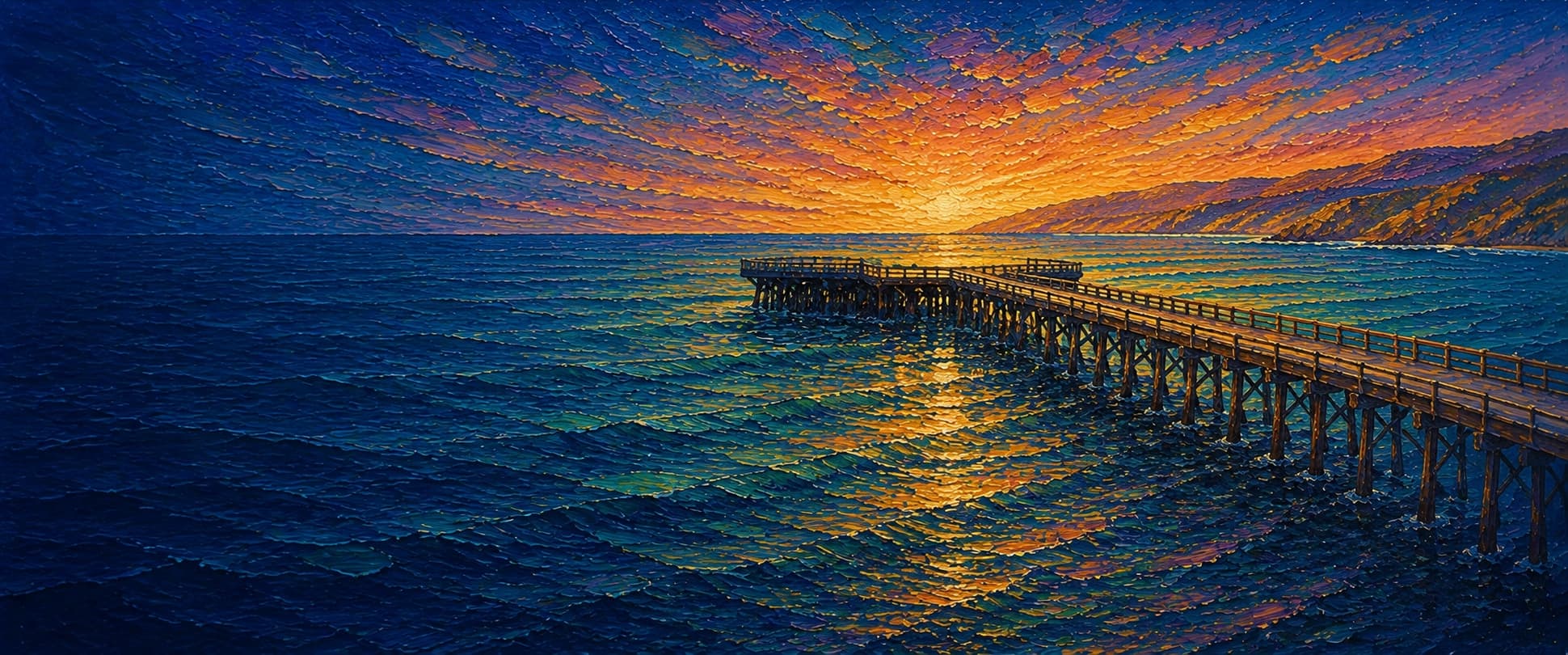
Avila Beach Pier (Avila Pier)
Avila Beach, California

Fishing conditions
Loading…
National Weather Service (api.weather.gov)
Loading…
NOAA CO-OPS predictions, station 9412110
- Sunrise—
- Sunset—
Dawn/dusk and a moving tide (the hour around a high or low) typically bring the most active bite — worth timing a trip around whichever falls closest to first/last light.
Loading…
Loading buoy telemetry…
NOAA National Data Buoy Center
Historic wooden public pier projecting from the Avila Promenade into sheltered San Luis Obispo Bay. Local and harbor-district history describe a long, straight deck about 20 ft wide for most of its length, widening to about 60 ft at the seaward end, with the deck roughly 22 ft above the water. The pier originally handled passengers and freight with hoists and a warehouse; modern use is strolling and recreational fishing. Current access is not full-length: Friends of Avila Pier said in April 2025 the deck was open only about halfway to bent 50, and the Harbor District was still soliciting emergency structural repairs for bents 58-80 in 2026.
Species & regulations
The local pier report identifies white croaker as Avila's main fish; fish cut anchovy, squid, or similar bottom baits over the inner-to-mid pier sand and mud.
⚠ OEHHA's statewide advisory for California coastal locations without site-specific advice places white croaker in the 4-servings-per-week group for women 18-49 and children 1-17; follow the full advisory for other groups and do not combine weekly groups.
The 1958 and 2004-2009 catch summaries both rank jacksmelt near the top at Avila; fish small hooks or bait rigs higher in the water column, especially toward the outer half when accessible.
When schools show, fish a small multi-hook bait rig or strips of squid from the deeper outer-pier water; the later CDFW catch summary listed Pacific mackerel among the most common species.
Sand crabs and fresh mussels are the classic baits here. The local report specifically documented productive nearshore surf fishing under the pier with those baits.
⚠ OEHHA's statewide coastal advisory places barred surfperch in the 6-servings-per-week group for women 18-49 and children 1-17; follow the full advisory for other groups and do not combine weekly groups.
The local report says better-quality halibut catches usually come from anglers who know the deeper water and techniques; fish legal live bait or natural bait close to bottom toward the deepest accessible outer sections.
Bag/size limits sourced from CDFW's ocean sport fishing regulations — always double-check the current CDFW regs before keeping fish, as rules change.
Moon tracker
Recommended spots
- Outer end rail (historical / closure-limited)
 Deepest water / pelagics and halibut
The local report says the pier end reaches the deepest water on the structure and consistently improves access to jacksmelt, Pacific mackerel, and quality fish such as halibut and sharks. Because outer-deck access has been closure-limited since 2015 and still under repair as of 2026, treat this as the best historic section, not a guaranteed current-access spot.
- Nearshore surf under the pier

 Surfperch water
Pier Fishing in California documented productive nearshore fishing right under the deck with sand crabs or mussels, including a strong barred-surfperch bite in the surf area. This is one of the few clearly described location-specific bites in the source material.
- Mid-pier piling lineMussel-and-barnacle structure
Pier Fishing in California says the pilings are covered with mussels and barnacles and can make the pier fish like an artificial reef, especially for perch. Fish close to, but not directly into, the piling line to limit snags.
- Inner-to-mid pier sand and mud bottomWhite croaker / sanddab bottom water
The local report says water remains fairly shallow until about mid-pier and the bottom is primarily sand and mud. That makes this a practical zone for white croaker, sanddab, staghorn sculpin, and other bottom fish, but not the deepest or highest-quality section.
Landmarks
- Avila Promenade / Front Street pier entrance
 access
Main landward access at the center of Avila Beach. Highway 1 Road Trip places the pier perpendicular to Front Street and the Avila Beach Promenade.
- 1st Street beach parking area
 amenity
Highway 1 Road Trip says nearby access typically uses free street parking or the paid lot on 1st Street; exact stall layout was not independently mapped here.
- Avila Promenade plazaamenity
Pier Fishing in California describes the rebuilt downtown edge by the pier as a Mediterranean-style pedestrian plaza with benches, light poles, and a tide-pool-themed fountain.
- San Luis Obispo Creek mouth
 hazard
Pier Fishing in California places the creek mouth a short distance west of the pier. It can influence current, sediment, and occasional debris in the nearshore zone.
- Historic outer terminus / wide end
 structure
The end is described as the widest section of the pier, around 60 ft across, and the deepest water on the structure. Treat present public access here as uncertain because repairs have been ongoing since the 2015 closure.
- Outer-half rehabilitation zonehazard
Friends of Avila Pier said in April 2025 the pier was open only about halfway to bent 50, and the Harbor District posted a 2026 emergency-repair solicitation for bents 58-80. Follow current posted closures rather than this draft.
Vegetation / growth assessment
Reviewed sources consistently describe shallow sand-and-mud bottom through much of the pier and fish-attracting mussels and barnacles on the pilings, especially compared with the deeper end. No current, citable pier-scale imagery or field survey resolved side-specific piling growth, kelp canopy, or seasonal end fouling, so the map uses broad structure-based zones only and keeps confidence low.
Piers grow algae, mussels, and barnacles on their pilings and along the deck edges over time — that build-up is what this section tracks. The more growth in a stretch, the easier it is for your hook, sinker, or line to catch on it and get stuck, which is one of the most common ways beginners lose tackle. Heavier growth isn't a reason to avoid a spot — it often holds bait and structure fish like — just expect to snag more and re-tie more often there.
The most growth on Avila Beach Pier (Avila Pier) is on the left flank, mid-structure and the right flank, mid-structure — expect occasional snags there; nothing else on the structure reads heavier.
- Left flank · noneunconfirmed, not yet assessed
No current side-specific vegetation observation was independently verified in the shallow base interval; gridded as checked, none confirmed.
- Right flank · noneunconfirmed, not yet assessed
No current side-specific vegetation observation was independently verified in the shallow base interval; gridded as checked, none confirmed.
- Left flank · moderatemoderate growth, expect occasional snags
Mussels and barnacles on the pilings are documented, but no source mapped a left/right difference or measured present density.
- Right flank · moderatemoderate growth, expect occasional snags
Same documented piling habitat; moderate is a cautious, non-directional interpretation rather than a measured fouling survey.
- Outer end · lightsome growth, light snag risk
Historic deep-end structure is documented, but no reviewed source provided a current canopy or fouling reading off the terminus. Width follows the reported approximate 60-ft end platform.

Reference sources
- OpenStreetMap Nominatim - Avila Beach Pier
- Overpass API - OSM way 10574772 (Avila Beach Pier)
- Port San Luis Harbor District - Avila Pier
- Port San Luis Harbor District - Bids & Proposals
- Friends of Avila Pier - FAQ
- Cal Poly Center for Coastal Marine Sciences - History of the Pier
- Pier Fishing in California - Avila Beach Pier
- Pier Fishing in California - Avila Beach Pier (page 2)
- NOAA CO-OPS station metadata - Port San Luis 9412110
- NOAA Tides & Currents - Port San Luis station home 9412110
- CDFW - California Beach Fishing / public pier license exemption
- CDFW - General Ocean Fishing Regulations
- CDFW - Current Central Region ocean regulations
- CDFW - Recreational Groundfish Regulations Summary
- OEHHA - Statewide Advisory for Eating Fish from California Coastal Locations without Site-Specific Advice
- Highway 1 Road Trip - Avila Beaches and Piers